Traversing Franconia Ridge
National Geographic named Franconia Ridge one of the World's Best Hikes (at least, according to Jonathan Waterman: author, photographer, adventurer, and activist) and I would have to agree.

I reunited with the "Crew" (plus two new additions) for a weekend of camping and exploring in New Hampshire. I also planned the trip to pick up Willow -- the fourth addition to my dog sled team. My cousin and I made the long drive up Friday afternoon, pitched our tent in the dark, and woke up ready to hike Franconia in the morning.
The Franconia Ridge Traverse loop is roughly nine miles. It's not particularly treacherous, nor does it require any advanced hiking skill. What it does require is endurance.
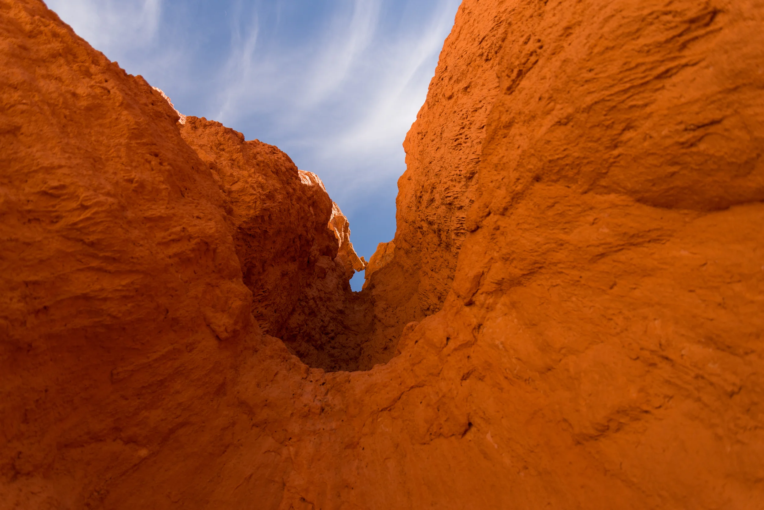
We started the loop by taking the "Falling Waters Trail", as suggested by a few hikers we met outside the parking lot. This part of the trail takes you along a crystal-clear stream that leads up past waterfalls. It's a gradual climb and not terribly difficult (at first).

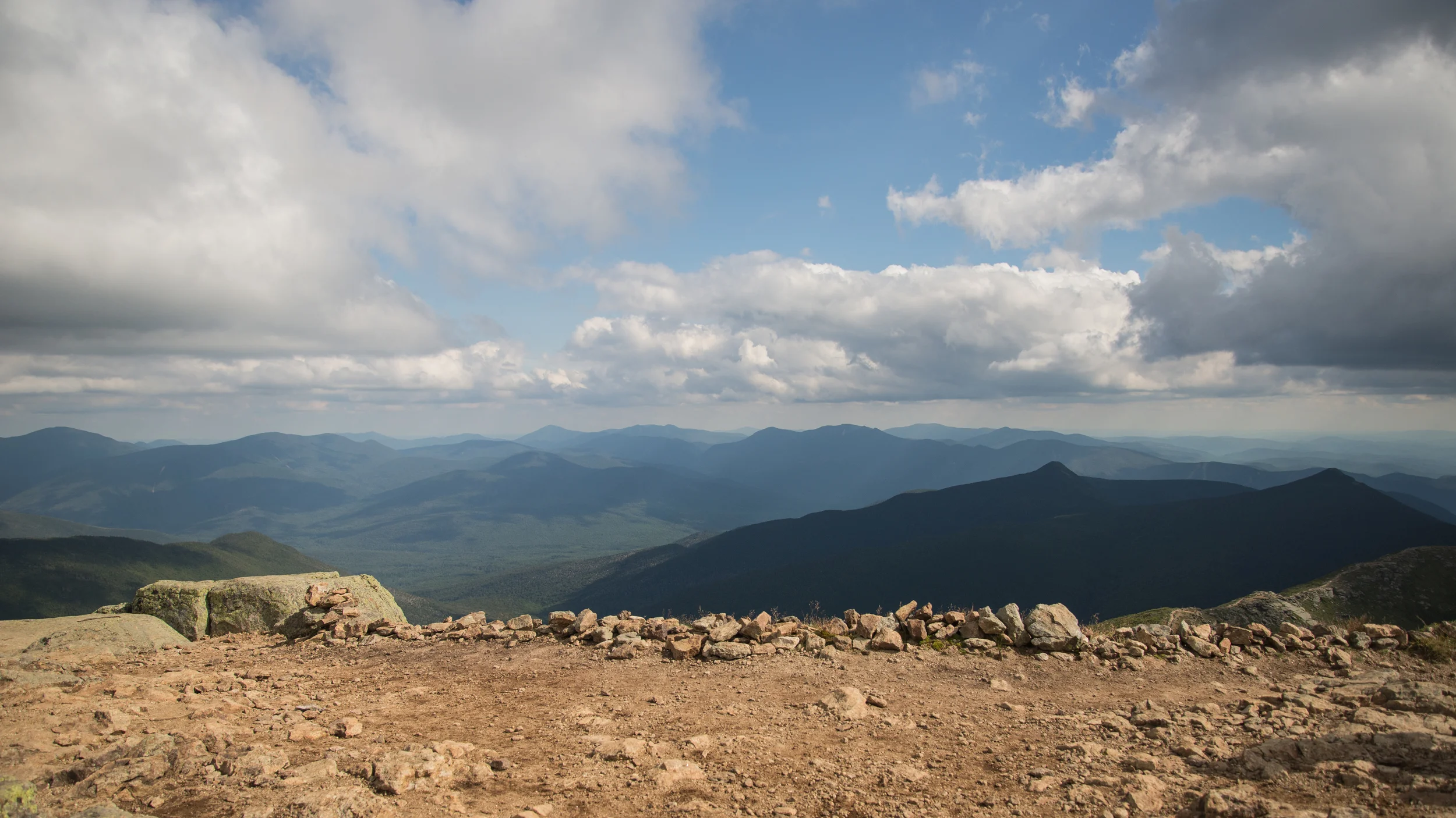
Falling Waters eventually meets the Franconia Ridge trail, which starts with the ascent to the first of three mountains: Little Haystack. This is where things start to get tough. The climb continues until you break through the treeline and hit your first panoramic view.
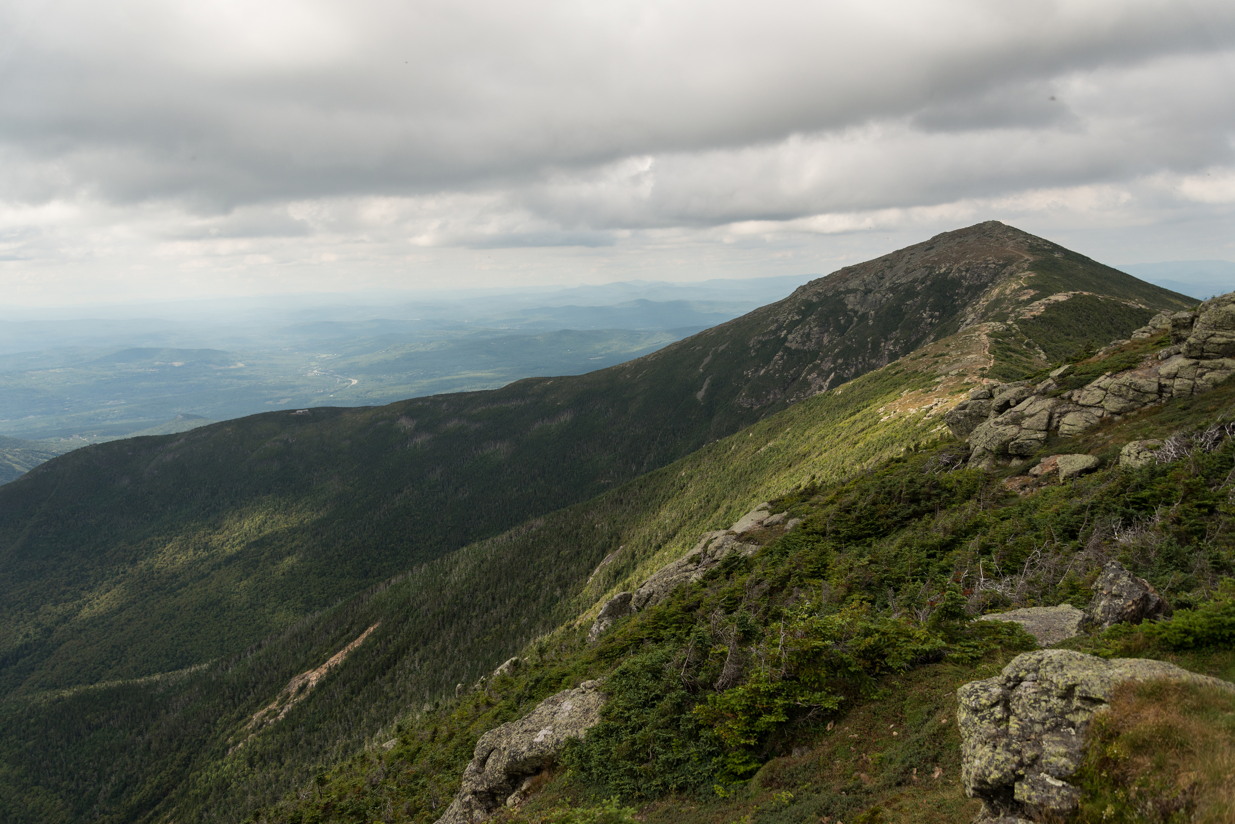

But you're not done yet. The trail takes you right along the ridge: down a little, and back up the second peak: Mount Lincoln. Despite achy knees and sore feet, the beauty surrounding you is well worth the pain.


The final, tallest peak is Mount Lafayette at 5,249 feet. This was by far the most painful part of the hike. Again, not because the trail was difficult, just long and steep. At this point, the sun was also bearing down on us in between passing clouds. Temperatures would range from chilly to hot with every few steps, making it hard to stay comfortable.

At the top of Mount Lafayette, we popped pain relief pills and discussed our strategy for reaching the cars. We still had to hike roughly a mile down the Greenleaf Trail to the Greenleaf Hut, then almost three more miles on the Bridle Path back to the parking lot. Given our pace, we estimated we'd just barely make it out before sunset. My Crew only had two headlamps and cellphones for light, so hiking in the dark wasn't ideal.

The hike down to the treeline was nerve wracking (although it was no Angel's Landing). The rocky terrain made the threat of twisted ankles a real possibility, and we were forced to move slow. Halfway down we came across a hiker who had broken her leg (help was on the way -- nothing we could do but offer some Advil). That shook us up and made us really focus on our footing.
We made it to the Greenleaf Hut, where we were able to refresh our water reserves, buy some snacks (and patches!), and use the restroom. Just being able to wash our hands and faces made a big difference in morale.
From this point, the Crew split off into two groups. Denali was strapped to my waist, and hiking downhill with her means moving fast. Reaching the treeline gave me a second wind and we took off. We passed rescue team members along the way as they traveled up to the injured woman we had met. Each saw our tired faces and gave us an estimate of how much further we had to go, which was both frustrating (at first) and encouraging (later on).
We finished the hike just around sunset, with the second portion of the Crew coming in just a bit after dark. We collapsed along the highway, cracked open celebratory beers and finished up our hiking snacks.

Long, difficult hikes can really kick your ass. They can scare the shit out of you. The can make your body ache and even break your bones. But these are the hikes I live for, I will continue to seek out, and I will never forget